Free, painless way to geotag photos
Tagging photos with longitude and latitude data is a snap. Here are the steps to get you there.


- More than two decades experience writing about PCs and accessories, and 15 years writing about cameras of all kinds.
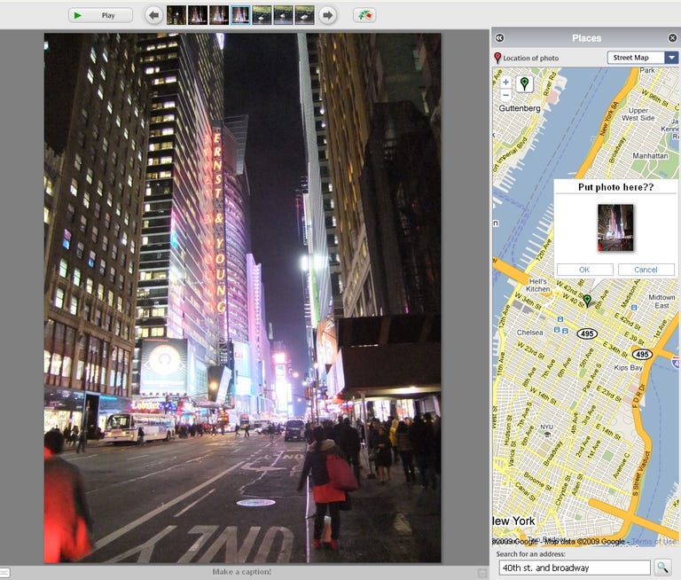
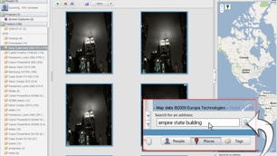
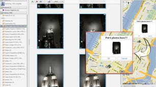
Google's Picasa is an excellent photo organizer. One of my favorite features, though, is its capability to quickly geotag images--adding longitude and latitude to the photo's EXIF metadata--with little effort. Basically, it requires little more than selecting a photo or photos, clicking a couple of buttons in the interface, and the software handles the rest. Plus, you can use either Google Maps for tagging or place them on the Google Earth globe.
The biggest catch is, unless you noted it at the time, you have to remember approximately where you were when you took your photos. Once you've tagged all your old photos, it's easy enough with future photos to snap a shot of the nearest intersection or a nearby business to use as a reference later. Of course, this only really works if you're in an area with those things.
There are devices and software you can use to geotag your photos when you offload them to your computer. (I'm in the middle of testing a pretty good one right now.) Using Picasa is a little more time consuming, but it's free, easy, and kind of fun once you get rolling with it.